Winnipeg
- 1.23K
- 4.7
- Installs
- 240.00M
- Version
- Varies with device
Screenshots
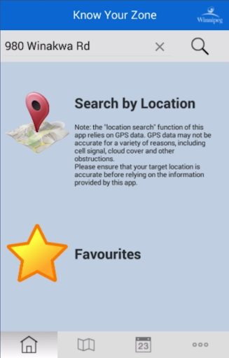


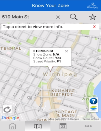


Use this Official City of Winnipeg app to find your residential street snow zone, as well as info about when your street will be plowed during a residential parking ban.
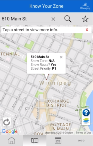
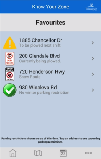
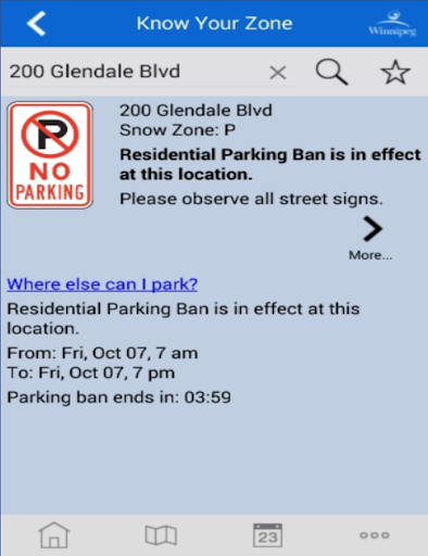
A residential parking ban is called to facilitate the City’s snow clearing response to an extreme snowfall. All residential streets are assigned a snow zone; each snow zone is identified by a letter of the alphabet. Zones are plowed in 12-hour shifts, around-the-clock. Parking is only prohibited on residential streets during the 12-hour period when a zone is scheduled for clearing.
Features include:
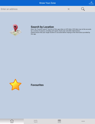
- Search an address or use your current location
- Get the snow zone letter and parking ban information specific to an address
- During a residential parking ban, view the full snow clearing schedule
- View all streets designated as snow routes on a map
- View the current and upcoming plowing operations during a residential parking ban on a map
- Parking ban descriptions
- Frequently Asked Questions
Note:
- Not supported by devices with an Intel processor